

Sunset Park is a Brooklyn neighborhood whose 5th Avenue business district and western waterfront make for two distinct parts of a day trip. From Ramsey, decide whether to focus on the commercial corridor or add a waterfront stop, and check current service before travelling.
- Neighborhood: Sunset Park, Brooklyn, including the 5th Avenue business district.
- Subway access: D, N and R trains serve the business district area.
- Waterfront: Bush Terminal Piers Park is marked in the waterfront area on the MTA neighborhood map.
- Waterfront hours: Rules vary by site and zoning; confirm the hours for your destination.
How should you plan a day trip to Sunset Park?
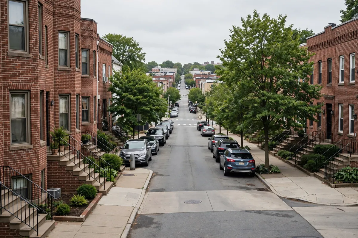
Sunset Park is a Brooklyn neighborhood, not a single attraction with one entrance or set of hours. The MTA neighborhood map labels Sunset Park, Industry City and South Brooklyn Marine Terminal in the area, so it helps to decide whether your day will focus on the 5th Avenue corridor, the waterfront, or both.
From Ramsey Inn & Suites, Ramsey station is about 12 minutes by car; check onward transit for your travel date.
The Sunset Park Business Improvement District covers 5th Avenue from 38th Street to 64th Street, a defined stretch for a neighborhood walk that you can pair with a waterfront visit. For an overnight around the trip, Ramsey Inn & Suites room options are available.
How do you get around Sunset Park?
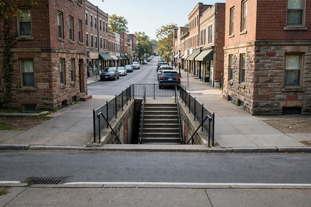
The D, N and R trains serve the business district, and buses run along several of its cross streets. The BID identifies the 36th Street station at 4th Avenue and routes B63 on 5th Avenue, B35 on 39th Street, B11 on 49th and 50th Streets, and B9 on 60th Street. Route availability and service can change; check the MTA’s planned service changes for your travel date.
For waterfront access, NYCEDC describes the NYC Ferry South Brooklyn or Rockaway routes as serving the Brooklyn Army Terminal/Sunset Park landing. From there, its directions to MADE at 111 Longshore describe a walk north on First Avenue from 58th Street to 43rd Street, taking approximately 15 minutes.
The subway option it gives is the D, N or R to 36th Street, or the R to 45th Street, followed by a 10-to-15-minute walk west from either station.
Check the official site before you go, particularly for current transit service and the rules or hours applying to your waterfront destination.
What can you do along Sunset Park’s neighborhood streets?
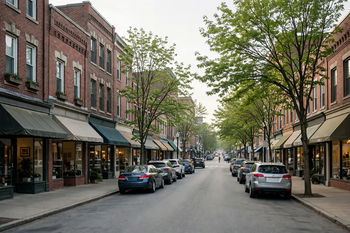
Use 5th Avenue as the street-level part of your day: the BID district runs between 38th and 64th Streets. You can combine a walk along this commercial corridor with subway stops serving the area, then continue toward the waterfront if that is part of your plan.
The New York State study also describes the N and R lines along 4th Avenue, with stations at 36th, 45th, 53rd and 59th Streets serving the study area.
Its account of local buses includes the B70 along 39th Street through Industry City and into the wider neighborhood. These routes connect different parts of Sunset Park, but check the MTA for service on your travel date.
What should you know about the park and waterfront?
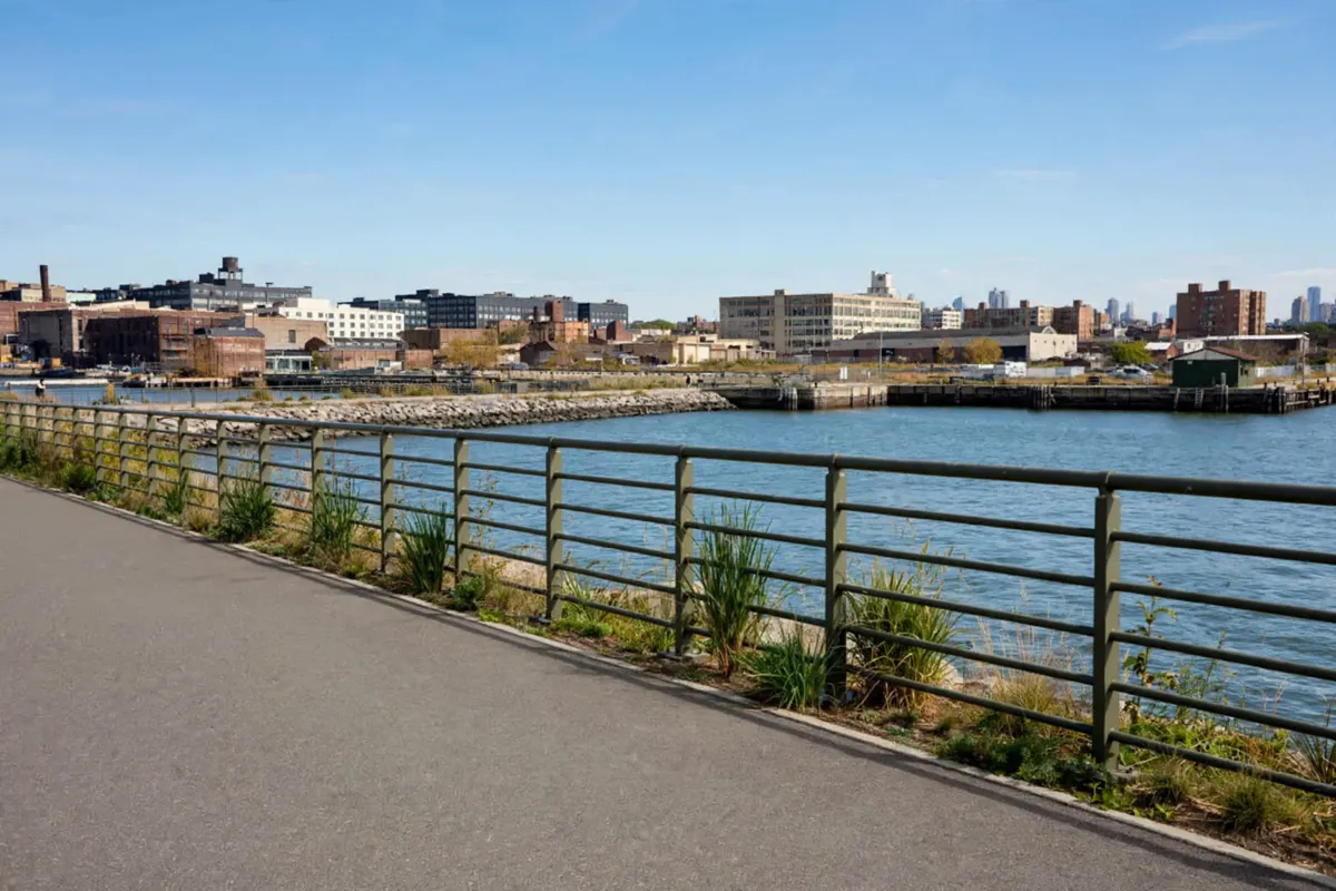
The MTA map labels Bush Terminal Piers Park in Sunset Park’s waterfront area. NYC waterfront public-access rules allow activities such as walking, jogging, sitting, small-group gatherings, and eating or drinking non-alcoholic beverages in relevant public-access areas.
Those rules do not set one universal schedule for every waterfront site. Some areas are open from dawn to dusk; other categories have seasonal hours, and an area may close for repairs. Confirm the specific destination’s access and hours before building your day around it.
How should you pace the day and plan a food break?
Keep the day’s sequence simple: choose a subway stop near the part of the neighborhood you want to see, walk the 5th Avenue district, then make a separate trip toward the waterfront if you have time. The routes and walking directions to MADE provide one concrete waterfront approach, but they do not establish access arrangements for every shoreline location.
Waterfront public-access rules permit food and non-alcoholic beverages in areas covered by those rules. The BID district gives you a defined corridor for your neighborhood portion of the day; choose food stops along your route rather than assuming every waterfront space has the same facilities or hours.
Another outing to consider in your itinerary is South Street Seaport on a day trip from Ramsey.
What should you check before returning to Ramsey?
Plan your return around the transit route you used to reach Sunset Park, and check the MTA’s service updates for the day of travel.
The route descriptions identify subway and bus connections within Sunset Park, but they do not establish a complete journey from the neighborhood to Ramsey. For the Ramsey end of the trip, Ramsey Station’s trains, parking and connections are useful to factor into your plans.
If driving, the BID says metered street parking is available in and around its district, without guaranteeing a space. Allow for that uncertainty when choosing where to begin your neighborhood walk.
FAQs
Which subway lines serve Sunset Park?
The D, N and R serve the business district area. The New York State study identifies N and R stations at 36th, 45th, 53rd and 59th Streets in its study area.
Can you reach the Sunset Park waterfront by ferry?
NYCEDC describes the NYC Ferry South Brooklyn or Rockaway routes as serving the Brooklyn Army Terminal/Sunset Park landing. Its directions to MADE describe an approximately 15-minute walk north from the landing.
Are Sunset Park waterfront areas open all day?
Hours vary by site and zoning category. Some covered areas are open dawn to dusk, while other categories have seasonal hours; check the specific destination’s access rules.
Is parking available in the Sunset Park business district?
The BID says metered street parking is available in and around the district, but does not guarantee a space.